Conservation ML
Forest Elephant Corridors
Mapping habitat and movement corridors for endangered forest elephants in Cameroon.
What it is
A machine-learning study of where African forest elephants can live and move around Lobéké National Park in southeastern Cameroon (Congo Basin), to help guide conservation planning and reduce human-wildlife conflict. I built it as a software engineer with the Jane Goodall Institute.
37,530GPS collar fixes
35tracked elephants
0.81ROC-AUC
30 mmap resolution
How it works
- Data. GPS collar tracks joined with 16 environmental features at 30 m resolution (vegetation, moisture and water indices, elevation, slope, human modification, distance to water) from Sentinel-2, SRTM and Earth Engine.
- Features. Engineered ecological interactions like Water × Naturalness (water only helps if people aren’t around) and a movement-effort "work index".
- Model. A tuned XGBoost classifier (depth 8, 350 trees, class weighting) on 27,468 points, beating a Random Forest baseline.
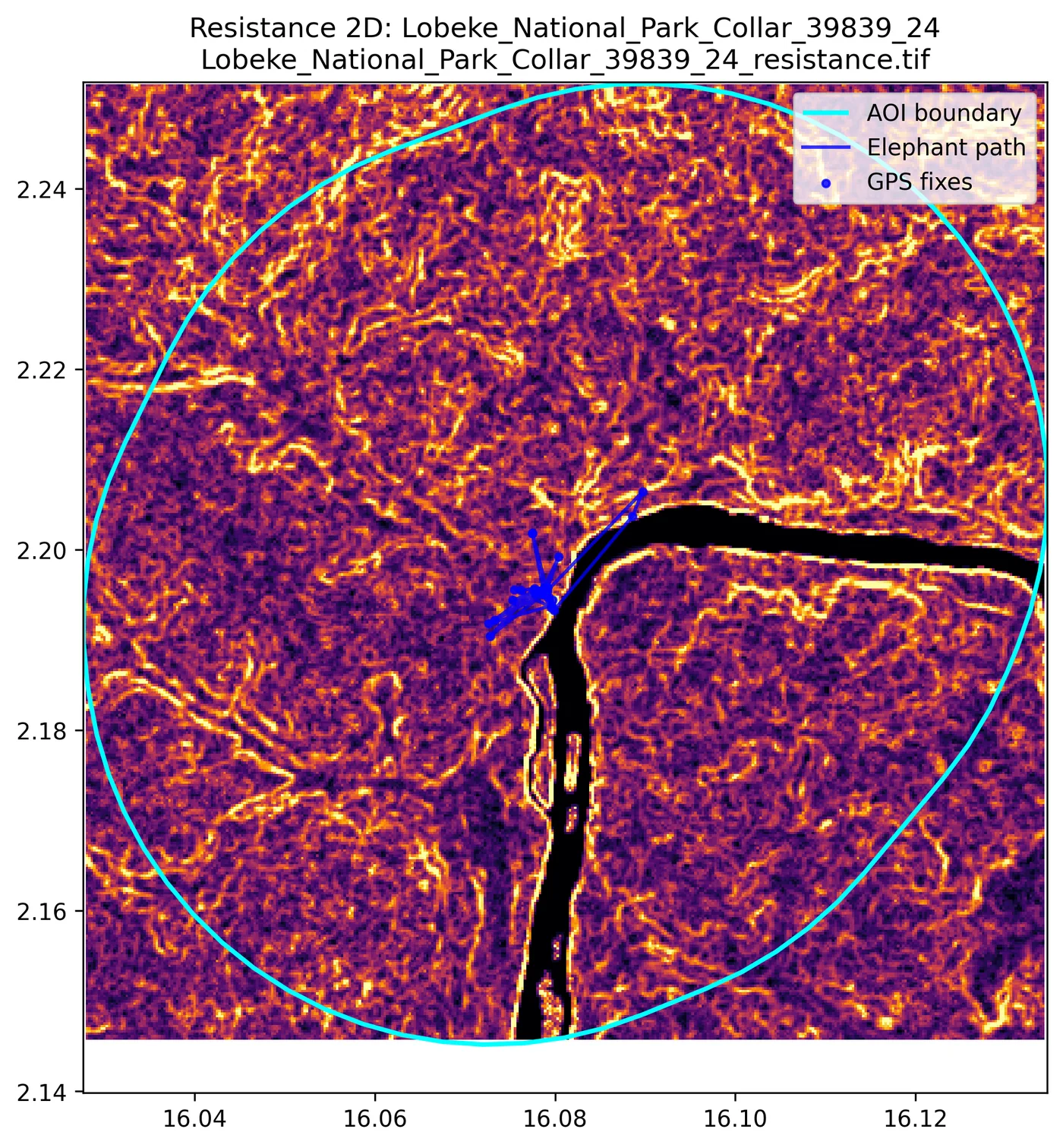
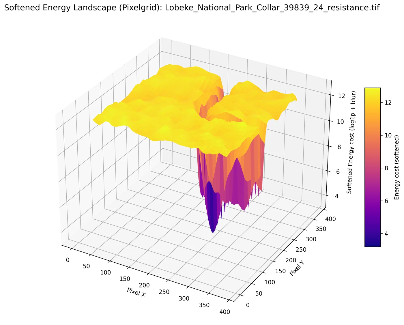
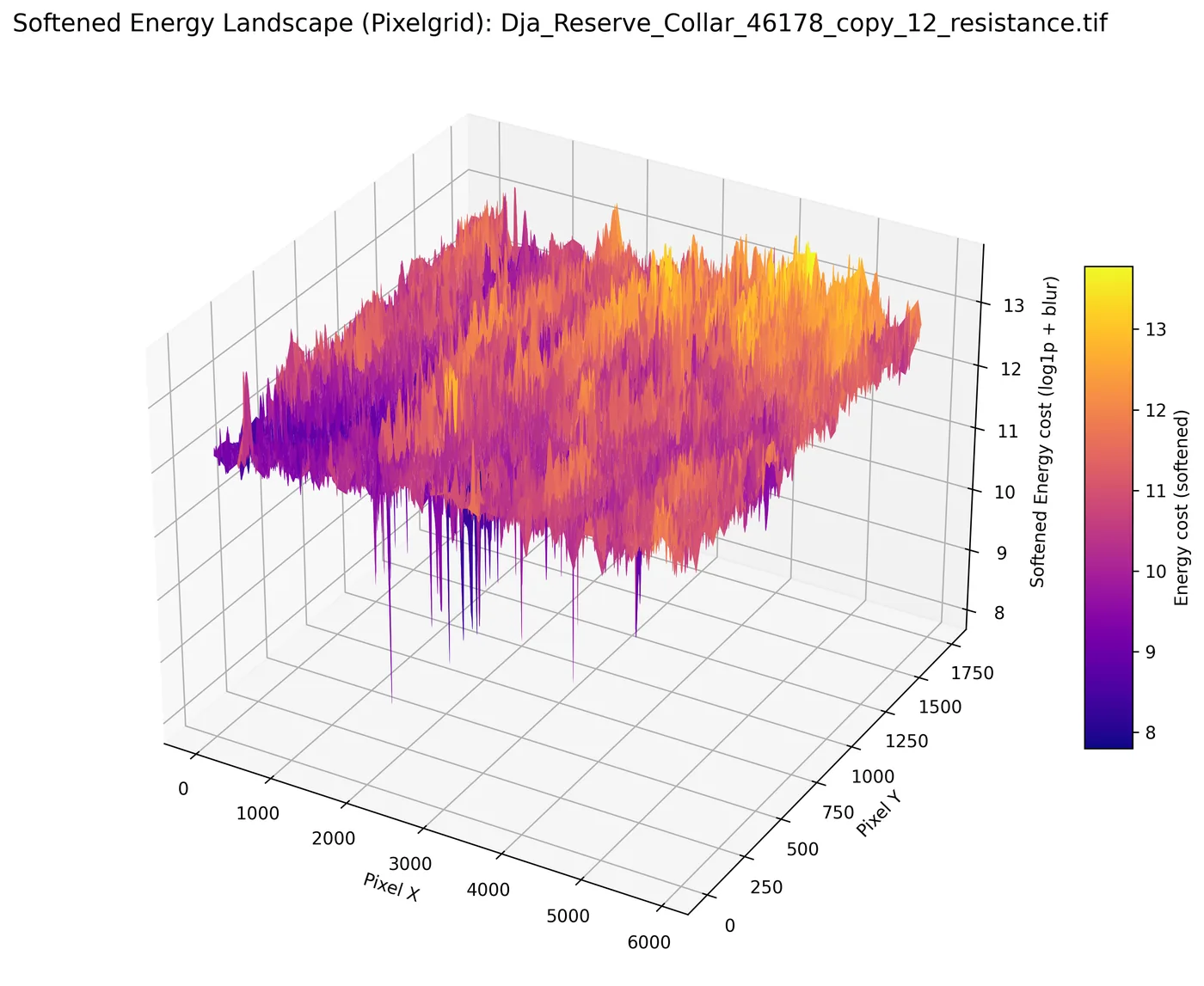
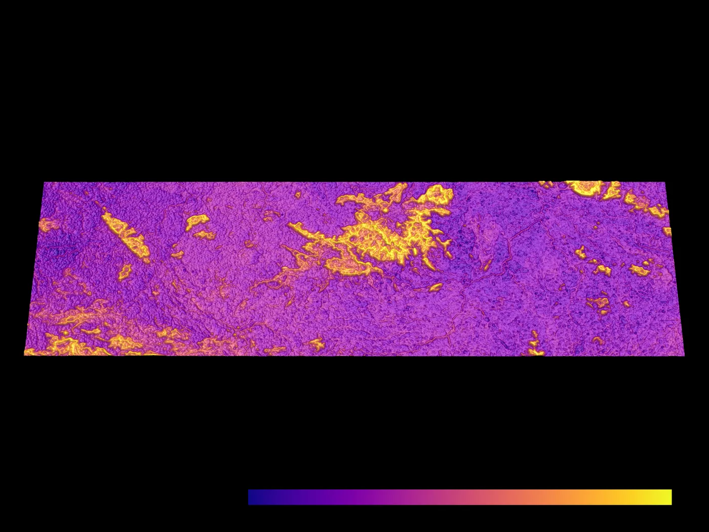
- Corridors. The suitability map becomes a resistance surface, and corridors are mapped with least-cost paths, Circuitscape (circuit theory) and ant colony optimization.
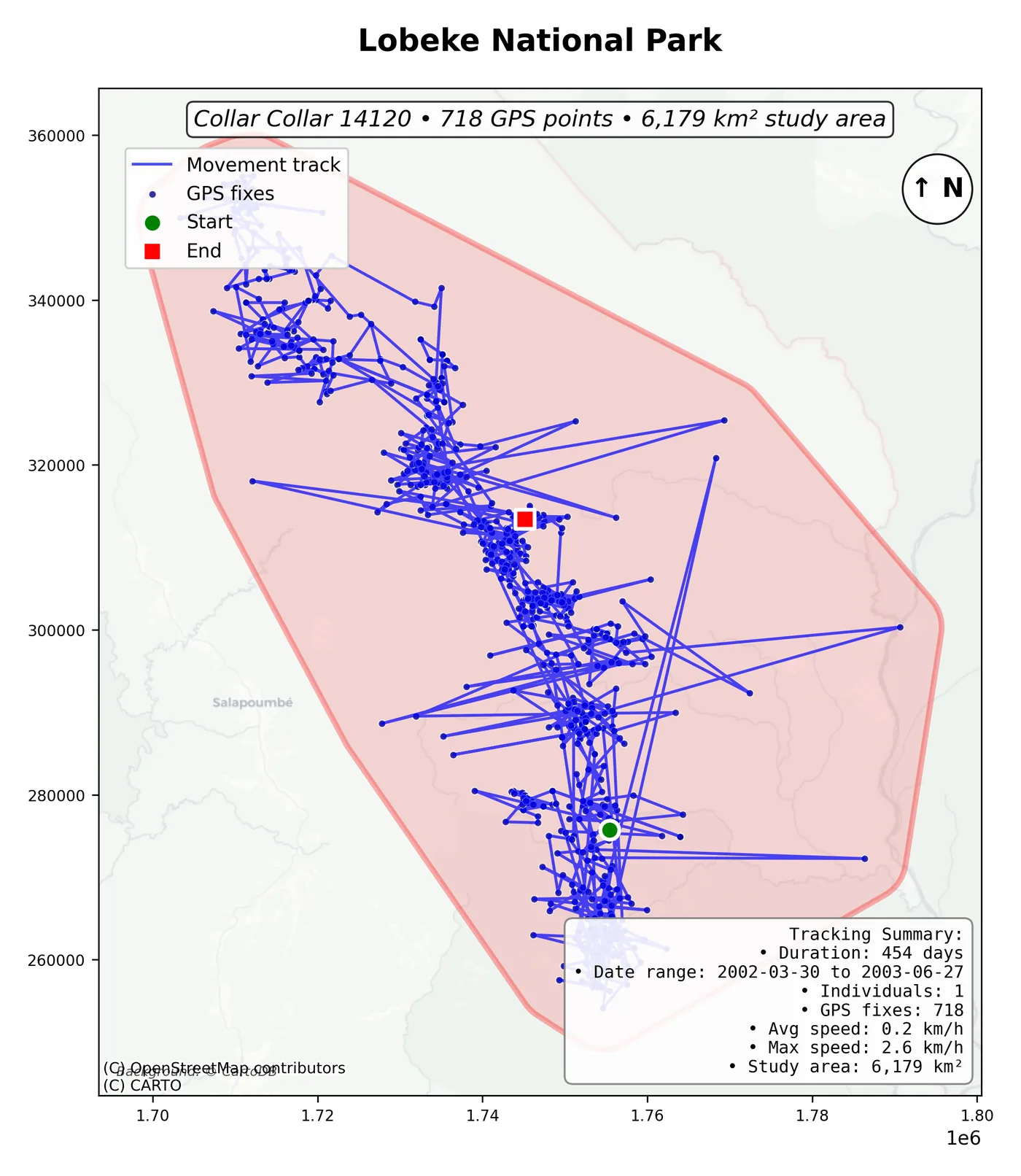
Maps from the study
Honest validation
Nearby points look alike, so random splits flatter a model. I tested it three ways:
- Random split: F1 0.60, ROC-AUC 0.81.
- 10 km spatial blocks: F1 0.55 (predicting unseen areas).
- Leave-one-elephant-out: F1 0.45 (predicting an unseen animal).
- Feature engineering lifted F1 from 0.52 to 0.60; the model was also checked on an external dataset.